Lab Head
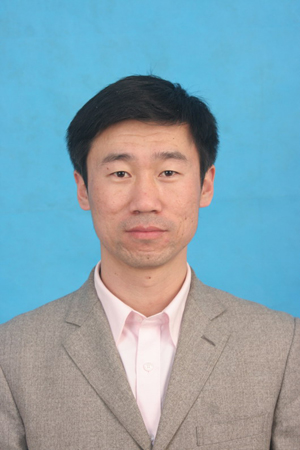
Yongjun Zhang
ProfessorYongjun Zhang, Professor, dean of the School of Remote Sensing and Information Engineering, Wuhan University. He has been engaged in the research of integrated photogrammetric processing of space and aerial multi-source remote sensing data, including combined bundle block adjustment of multi-source remote sensing datasets, combined processing with multi-feature of multi-source satellite imagery, intelligent processing of low altitude imagery, etc. for a long time. He is responsible for the development of the first Digital Photogrammetric Grid (DPGrid) processing system for space and aerial remote sensing imagery with complete independent intellectual property rights in China. It was successfully applied to national major projects and various projects of geographic information product, as well as the quick response of serious disasters on Wenchuan earthquake, etc. In 2015, the technology was transferred to ESRI Inc. US, which is the first technology export with independent intellectual property rights in the field of surveying and remote sensing.
Prof. Yongjun Zhang won the second class of National Science and Technology Progress Award (2017) and the outstanding class of Surveying and Mapping Science and Technology Progress Award (2015) as the principal investigator. He has presided more than 10 projects of national natural science foundation, national key research and development program, national science and technology support program and national 863 program. In addition, Prof. Zhang has published more than 80 academic papers on top-tier SCI journals. He holds 25 national patents of invention and 25 computer software copyrights, and is the chairman of the international academic conference "PhotoGA 2017".
Researchers

Zheng Ji
Associate prof.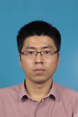
Yansheng Li
Associate prof.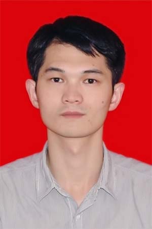
Xiaohu Yan
Postdoc
Yi Wan
Postdoc
Xinyi Liu
PostdocPhD Students
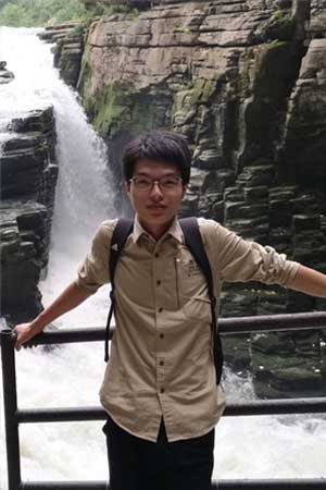
Chi Liu
2017 PhD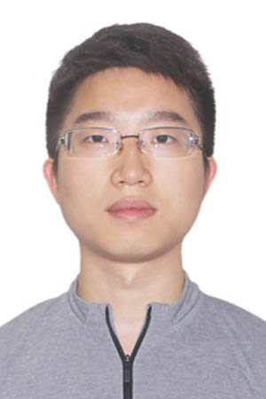
XianzhangZhu
2018 PhD
Dong Wei
2018 PhD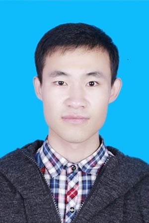
Xiaojian Liu
2018 PhD
WangshanYang
2018 PhD
Zhi Zheng
2019 PhD
Bin Zhang
2019 PhD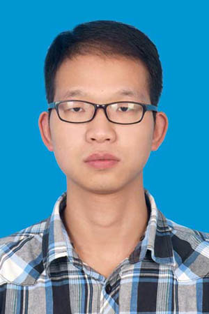
YongxiangYao
2019 PhD
Fei Wang
2019 PhD
陈佩琦
2020级博士生
邹思远
2020级博士生
王森援
2020级博士生
陆懿新
2020级博士生Master Students

Yuhui Tan
2019 Master
WeichenHong
2019 Master
Lisong Shi
2019 Master
Sizhe Xiang
2019 Master
Liben Dai
2019 Master
Haoyu Guo
2019 Master
景慧莹
2020级硕士生
贾琛
2020级硕士生
刘伟玉
2020级硕士生
焦文科
2020级硕士生
吴文品
2020级硕士生
程鑫
2020级硕士生Alumni
| 姓名 | 年级 | 毕业去向 | |
|---|---|---|---|
| 鄢小虎 | 博士后 | ||
| 刘欣怡 | 2016级博士 | 武汉大学博士后 | |
| 文飞 | 2016级博士 | 华为-杭州 | |
| 万一 | 2015级博士 | 武汉大学博士后 | |
| 谢勋伟 | 2015级博士 | 成都中电十所 | |
| 王祥 | 2015级博士 | 华为武汉研究所 | |
| 凌霄 | 2014级博士 | Singapore-ETH Center | |
| 张彦峰 | 2014级博士 | 华为2012实验室黎曼实验室 | |
| 彭代锋 | 2014级博士 | 南京信息工程大学 | |
| 余磊 | 2014级博士 | Vivo | |
| 曹如军 | 2014级博士 | ||
| 李谦 | 2013级博士 | 中原电子 | |
| 胡堃 | 2013级博士 | 俄亥俄州立大学 | |
| 赵宗泽 | 2013级博士 | 河南理工大学 | |
| 王博 | 2012级博士 | 南京航天航空大学 | |
| 黄旭 | 2012级博士 | 俄亥俄州立大学 | |
| 熊小东 | 2011级博士 | 北京中测智绘科技有限公司 | |
| 郑茂腾 | 2011级博士 | 中国地质大学 | |
| 鲁一慧 | 2011级博士 | 济南勘测院 | |
| 熊金鑫 | 2010级博士 | 华为2012实验室 | |
| 沈翔 | 2009级博士 | 中科院测量与地球物理研究所 | |
| 杜全叶 | 2007级博士 | 中国测绘科学研究院 | |
| 谢一鸣 | 2018级硕士 | ||
| 何林 | 2018级硕士 | ||
| 刘林钰 | 2017级硕士 | 中核武汉核电运行技术股份有限公司 | |
| 黄星北 | 2017级硕士 | ||
| 王广帅 | 2017级硕士 | 天津铁四院 | |
| 蔡平 | 2017级硕士 | 吉威 | |
| 孙萍 | 2016级硕士 | 科大讯飞 | |
| 岳照溪 | 2016级硕士 | ||
| 陈湘广 | 2016级硕士 | ||
| 崔松 | 2015级硕士 | 测绘遥感国家重点实验室攻博 | |
| 胡涵 | 2015级硕士 | 杭州智团 | |
| 杨璟林 | 2014级硕士 | ||
| 苏瑜阳 | 2014级硕士 | ||
| 谭凯 | 2014级硕士 | 华为 | |
| 胡旭东 | 2014级硕士 | 中科天启 | |
| 张行航 | 2013级硕士 | 华为2012实验室黎曼实验室 | |
| 张毅 | 2013级硕士 | 摩根士丹利 | |
| 冯文卿 | 2013级硕士 | 测绘遥感国家重点实验室攻博 | |
| 麻连伟 | 2013级硕士 | ||
| 董忠亮 | 2012级硕士 | ||
| 王越 | 2012级硕士 | ||
| 黄心蕙 | 2012级硕士 | ||
| 秦守鹏 | 2012级硕士 | ||
| 钱成越 | 2011级硕士 | ||
| 寇蓉 | 2011级硕士 | ||
| 王馨 | 2010级硕士 | ||
| 王磊 | 2009级硕士 | 加拿大滑铁卢大学 | |
| 尚海兴 | 2009级硕士 | 西安 | |
| 郝利娟 | 2009级硕士 | 内蒙古测绘局遥感院 | |
| 吴磊 | 2008级硕士 | 广东省国土厅测绘院 | |
| 胡丙华 | 2008级硕士 | 西安试飞院 | |
| 林立文 | 2008级硕士 | 俄亥俄州立大学 | |
| 王蕾 | 2008级硕士 | 四川测绘局地图院 | |
| 邓继伟 | 2008级硕士 | 天津铁三院 | |
| 陈文 | 2008级硕士 | 航天十一院701研究所 | |
| 杨依柳 | 2007级硕士 | 武大吉奥公司 | |
| 万芳琦 | 2007级硕士 | 江西省测绘局 | |
| 丁亚洲 | 2006级硕士 | 湖北省电力设计院 | |
| 孔胃 | 2006级硕士 | 济南勘测院 | |
| 钱伟 | 2005级硕士 | 华为-昆明 |